News
Field Mission: Gabiley Region | Soil Degradation & Erosion Assessment
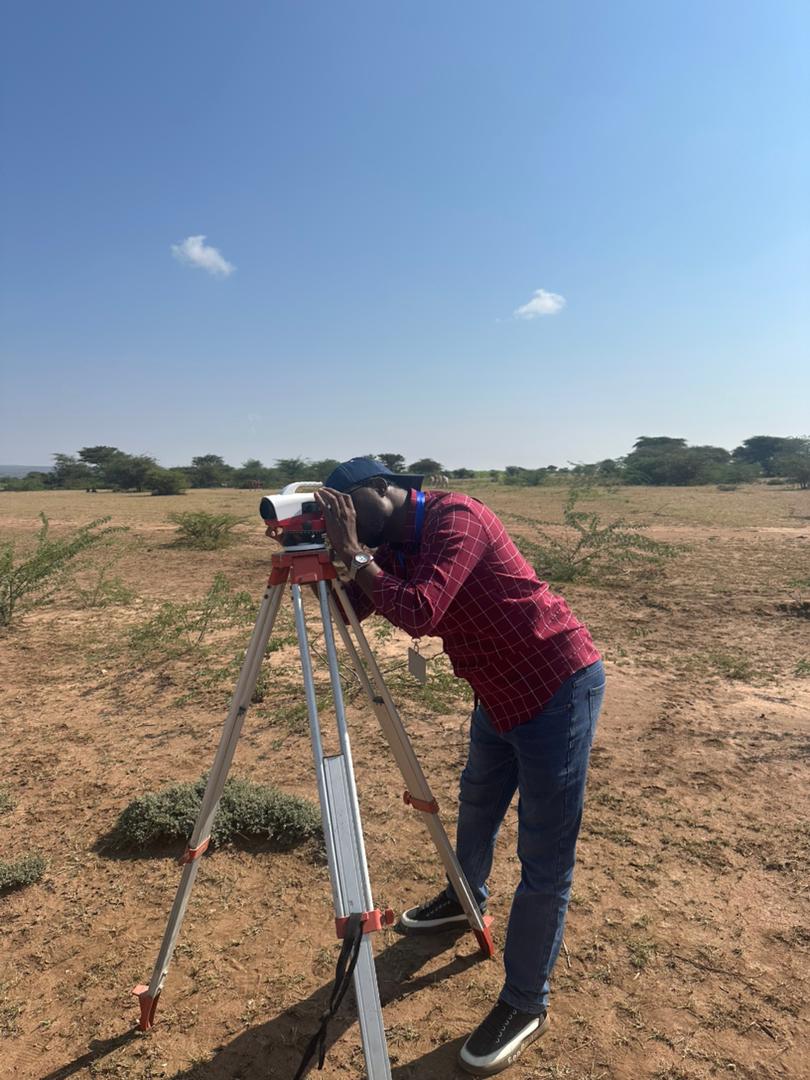
Recently, our IMC technical team undertook a mission in Gabiley focusing on ground-truthing soil degradation and erosion levels within the pilot watershed. 🌱 The mission aimed to validate our remote sensing and GIS-based soil degradation maps through on-the-ground data collection—identifying types of erosion, soil conditions, vegetation cover, invasive species mapping, and local drivers of land degradation. 👷♂️ We collected detailed georeferenced field data capturing evidence of sheet, rill, and gully erosion and documenting real impacts on farmland and rangeland ecosystems. This effort contributes to strengthening data-driven decision-making for soil conservation and sustainable land management across Somaliland.